Listen To Our Episodes
Grids & Gradients Episode 7:
Land Development Expert Witness
Grids & Gradients Episode 6:
How Burrell Works with Cities and Public Agencies for Home Planning
Grids & Gradients Episode 5:
Our Role in Eminent Domain Cases as an Expert Witness
Grids & Gradients Episode 4:
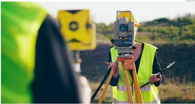
The Importance and History Behind Surveying
Grids & Gradients Episode 3:
Industry Changes with COVID-19 and Our Response
Grids & Gradients Episode 2:
The Core of Burrell's Success - Our Culture
Grids & Gradients Episode 1:
The Journey Begins
Read Our Latest Blog
Northern California’s Land Experts
When you’re ready to start your next residential or commercial property, you want to work with the best in the field who know the area well. That’s us. Take a look at some of our previous projects, and when you’re ready to get to work, we’ll be ready too.
Hear What Our Customers Say
The Burrell Consulting Group is Here to Help You.
Let’s talk about how we can help you with your next development project.


