Parcel maps play an indispensable role in property transactions. They serve as the definitive guide to property boundaries, sizes, and legal compliance. These maps are more than just drawings; they are comprehensive legal representations of land parcels that are crucial in any real estate transaction. At the heart of creating these essential documents are land surveyors, professionals who combine their technical expertise and knowledge of local regulations to produce accurate and reliable parcel maps. Their work ensures that every square foot of a property is accounted for, documented, and legally compliant.
What is a Parcel Map? Understanding Parcel Maps in Land Surveying
In land surveying, parcel maps are fundamental tools. These maps detail the division of land into individual parcels, clearly defining property boundaries and other significant features. The creation of these maps is a critical step to ensure legal compliance in land development and real estate transactions. They provide clarity and precision in the delineation of property lines, which is essential for dispute avoidance and proper land management. Parcel maps in land surveying are not just about drawing lines. They’re also about laying down the legal groundwork for property ownership and use.
The Process of Creating Parcel Maps
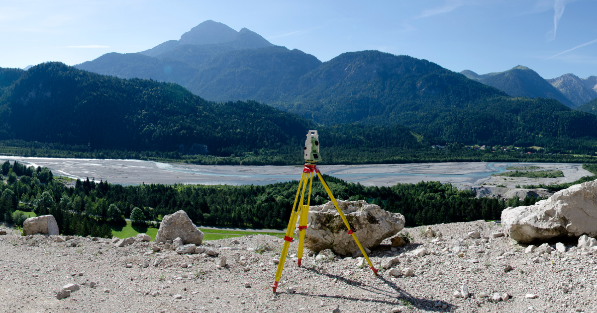
The creation of a parcel map is a meticulous process that requires the expertise of a skilled land surveyor. This process begins with a comprehensive survey of the land, where measurements are taken to determine the exact size and boundaries of each parcel. Land surveyors employ various tools and technologies, from traditional transit and theodolites to advanced GPS systems, to capture precise data. Surveyors then use the data to draft a parcel map that accurately depicts the land division.
Accuracy in Detail: Lot Sizes, Dimensions, and Easements
When it comes to parcel maps, accuracy is paramount. Land surveyors meticulously measure and record lot sizes and dimensions, capturing every detail with precision. This accuracy is crucial, not just for the current transaction but for future reference as well. Equally important is the mapping of easements – rights that allow the use of part of the land for specific purposes like utilities or access. Accurately mapping these easements on parcel maps is vital to prevent legal disputes and ensure smooth property transactions.
Parcel Maps and Land Development
In the context of land development and planning, parcel maps are invaluable tools. They provide land developers with a clear blueprint of the land, aiding in efficient planning and utilization. Whether it’s for residential, commercial, or mixed-use developments, these maps serve as the foundation for designing and executing land development projects. They help in strategizing land use, optimizing space, and planning infrastructure in accordance with the defined parcels.
Start Your Next Project
Neither the importance of parcel maps in land surveying nor the role of professional land surveyors in their development can be overstated. Parcel maps play a key role in facilitating property transactions. They are crucial in defining property boundaries, ensuring legal compliance, and providing clarity.
Are you preparing for a property transaction or involved in land development? Ensure the accuracy and compliance of your parcel maps by consulting with expert land surveyors like the team at Burrell Consulting Group. We can provide you with the precision and expertise needed in your land surveying needs. We encourage you to reach out to us for any questions you may have or to get your project started today!
Let’s Get Started On Your Next Development Project
We know our clients and we know the business. Get your estimate today.