Blog
Legal and regulatory frameworks shape how the civil engineering field is practiced. Understanding these systems is essential for anyone entering the field, as they govern everything. This includes the methods used in capturing data to...


Project challenges are inevitable, ranging from logistical hurdles to regulatory compliance issues. At Burrell Consulting Group (Burrell), navigating these challenges is not just about problem-solving—it demonstrates our commitment to excellence and innovation. Join us as...

In modern civil engineering, surveying technology is crucial for precise measurements and foundational data. At Burrell Consulting Group (Burrell), we utilize advanced surveying tools — ones that have evolved from traditional methods like transits and...

In land development, the foundation of every successful project lies in the precision of its civil design calculations. These calculations are crucial for crafting detailed plans that align with both engineering requirements and regulatory standards...

Mixed-use developments in Northern California are becoming more common. This trend towards integrated living spaces reshapes communities, offering a blend of convenience, efficiency, and sustainability that appeals to a diverse population. These developments not only...

At Burrell Consulting Group (Burrell), one of the key drivers to our success and therefore that of our clients, is that we intentionally and actively have our Project Surveyors work closely with our project managers....

Surveying is critical as it ensures the precise construction of buildings and roads, impacting everything from residential backyards to major highways. At Burrell, our team employs advanced tools and a distinctive approach to address various...

At Burrell Consulting Group (Burrell), Associate Project Engineers are at the core of our engineering success, blending technical skills with comprehensive project oversight and client interactions. These professionals embody the multifaceted expertise required to excel...

Strategic community planning shapes the blueprint of urban and rural development through general and community plans. These documents guide growth and infrastructure to align with a community’s long-term goals. Burrell Consulting Group plays a pivotal...
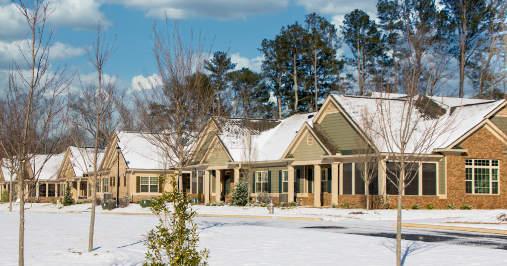
Mixed-use development, which combines residential, commercial, and sometimes cultural spaces, is increasingly pivotal in modern urban planning. This approach maximizes land use and cultivates vibrant, multi-functional neighborhoods that enhance urban living. As cities grow, the...