The introduction of CAD (Computer-Aided Design) software in land development has marked a turning point in modern land surveying. Replacing traditional methods, CAD software has transformed how land developers, engineers, and architects approach their projects. Read on to explore how CAD software has enhanced developers’ capabilities and efficiency and learn about the diverse applications of CAD in land development.
Evolution of CAD in Land Surveying
The development of CAD software marked a significant shift from traditional surveying methods, typically utilizing lots of manual work, to an era of digital precision. Before CAD, surveyors relied on hand-drawn sketches and calculations that were often time-consuming and susceptible to human error. The evolution of CAD has increased speed and accuracy and introduced automation, making it an indispensable tool in modern land surveying. This technological advancement has made the process more efficient and broadened the horizons of what is achievable in land development.
Applications of CAD Software in Mapping
Mapping is at the core of land development, and CAD software has brought unprecedented accuracy and detail to this essential process. The capability to create complex maps illustrating every nuance of the land has dramatically enhanced the planning stage. CAD’s integration with Geographic Information Systems (GIS) furthers this capability, allowing for the layering of information such as zoning, utilities, and environmental constraints. This rich data provides a complete picture, setting the foundation for informed decision-making.
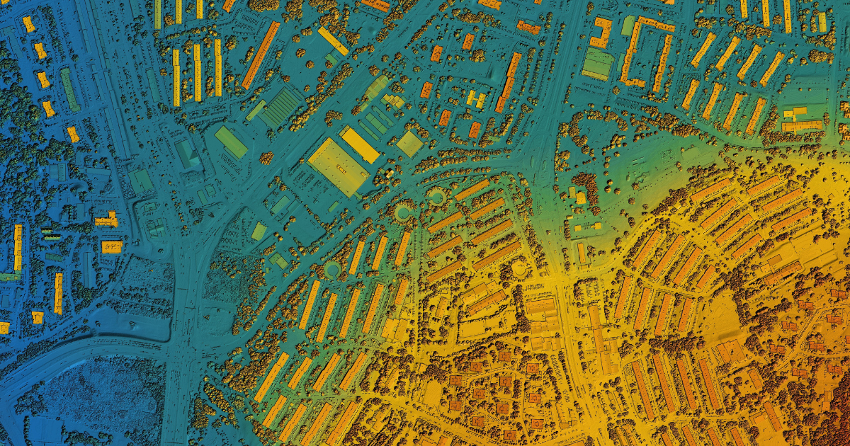
Analyzing Topographical Data with CAD
Understanding the topography of the land is crucial for successful development. CAD software enables precise collection and analysis of topographic data, including elevation, contours, and natural features. This detailed insight is vital for engineers and architects as they design structures that harmonize with the landscape.
CAD’s topographic analysis tools also facilitate drainage planning and erosion control, ensuring the land’s natural characteristics are respected and preserved.
Generating 3D Models Through CAD Software
3D modeling has become a pivotal aspect of land development, and CAD software is at the forefront of this transformation. With CAD, developers can create lifelike 3D models of surveyed areas, providing a tangible visualization of the project. These models are extremely useful for planning, enabling designers to experiment with different concepts and analyze how they fit within the landscape. 3D models also serve as a powerful communication tool, bridging the gap between technical details and clients’ understanding.
Integration With Geospatial Technology
Integrating CAD with other geospatial technologies has created a synergistic environment where various tools and platforms work together. Combining CAD with GIS, mapping software, and other geospatial technologies brings together different data streams, forming a comprehensive view of the land. This allows for a more complete analysis, from soil composition to traffic patterns, leading to more confident development strategies.
Enhancing Collaboration and Efficiency in Land Development
CAD software’s impact extends beyond mapping and modeling; it’s a hub for collaboration and efficiency. By providing a common platform, CAD allows developers, engineers, and architects to collaborate, share insights and align visions. This collaboration streamlines the development process, reducing redundancy and enhancing overall project coordination. Furthermore, CAD’s precision reduces costly errors, making sure that projects are completed on time and within budget.
Future Prospects of CAD in Land Development
The use of CAD software in land development is ever-changing, with innovations continually emerging. As technology advances, CAD will become even more detailed and powerful, offering new analysis, visualization, and collaboration tools. The integration of augmented reality, machine learning, and other innovative technologies could redefine what’s possible in land surveying. These prospects paint an exciting picture, promising to shape the land development industry in unprecedented ways.
Harness the Power of CAD with Burrell
The role of CAD software in land development transcends just technology; it’s a conduit for innovation, collaboration, and success. CAD has redefined the landscape of modern land surveying, from creating intricate maps to analyzing topographic data, generating 3D models, and facilitating efficient collaboration.
At Burrell Consulting Group, we embrace these possibilities, leveraging CAD’s diverse applications to deliver projects that resonate with excellence and foresight. The integration of CAD software with land development stands as a testament to human ingenuity and the relentless pursuit of excellence in shaping our world.
Looking to harness the power of CAD for your next development project? We’ve got you covered with all the tools and services you need to make your project a reality. Reach out to us and start your project today!
Let’s Get Started On Your Next Development Project
We know our clients and we know the business. Get your estimate today.